Is this Really Japan? Our Guide to Rishiri and Rebun Islands
Rishiri and Rebun are two of Japan's Northernmost islands, located a two hour ferry ride from the city of Wakkanai and part of the Rishiri-Rebun-Sarobetsu National Park. Bitterly cold and icy in Winter, the islands are at their best in the Summer season, when alpine flowers flourish and the blue sea sparkles in the sun. Despite their proximity to Russia, it can even get quite warm in Summer - 32 degrees when we visited! You will need to come prepared for cooler night temperatures though - no need for air conditioning when you sleep.
The highlights of Rishiri Island:
Rishiri Island is by far the larger of the two, with dormant volcano Mt. Rishiri dominating the landscape. Around 5000 people live on the island and make their living from fishing or tourism. Rishiri offers wonder and excitement for both the relaxed traveler and those seeking adventure. If you wish to just take relaxing walks around the scenic spots, you can rent a car or take a bus tour with "Soya Bus" in one day around these places. If you wish to try hiking and cycling around the island, that is on offer too. The cycling road that runs 60km from Hime Pond to Kutsugata is incredibly picturesque and we highly recommend it. If you wish to rent a car, it will take about three hours to drive the 63km circumference, including stops.
Climbing the volcanic Mt. Rishiri
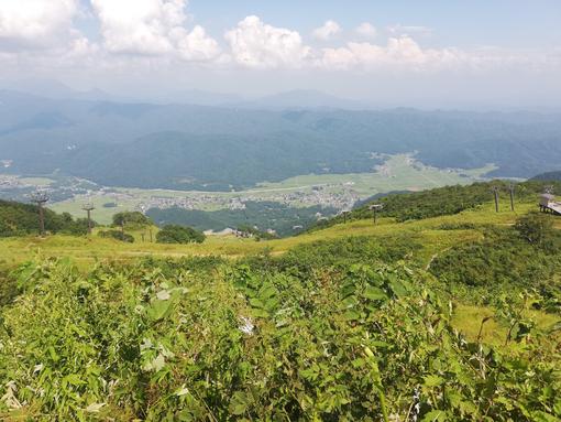
There are two main trailheads, the Oshidomari Hiking Trail on the North side and the Kutsugata Hiking Trail on the West side. If you take the Himenuma Ponyama Trail then you can join the Oshidomari trail part way. The mountain is 1,721m high and moderately difficult to climb. You can reach the Northern trailhead by walking about 4km from the port, or take a taxi. There is also parking available if you rent a car. The Western trailhead can be reached in 30 minutes by the local bus to Kutsugata. Be sure to bring enough water for your hike as there aren't any water sources along the way. You will encounter sweeping grass covered mountainside views before this gives way to cloud and rocks as you reach the summit.
The cycling course
The 60km cycling course covers the North and Western sides of Rishiri. You can rent bikes at either port, or some of the island's hotels. The entire course takes seven hours, but you can choose to just do a section. The trail is bikes only, no cars, making it a very relaxing way to get around. It will take you to many sightseeing spots such as Himenuma or Notsuka Observatory. Going through Oshidomari you will come across some hot springs and the Peshi Misaki Coast short hiking trail.
Himenuma
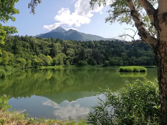
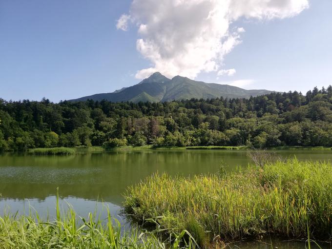
Himenuma is a lake surrounded by dense forest with a stunning view of the volcano. It's an easy walk around the lake of an unelevated 1km. This is mostly a stop for photos and a short walk while enjoying the company of dragon flies and vivid coloured butterflies.
Lake Otatomari
This is the largest lake on the island and the spot that inspired the logo of the Shioroi Koibito biscuits, a famous Hokkaido souvenir. There is a short walk around this lake too with some alpine flowers blooming along the path.
The Minamihara Wetlands
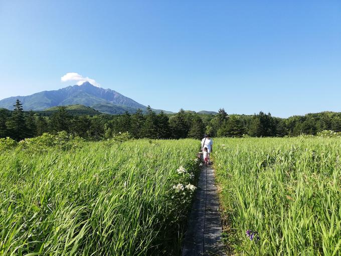
We all loved this spot. There is a short walk of about 20 minutes through the wetlands. It is a stunningly beautiful and peaceful place, with the chirping of birds and humming of insects the only sounds you can hear. Everywhere are unique flora and of course, Mt. Rishiri provides an ever present backdrop. We found the "Abu flies" particular aggressive here for some reason, so try and bring protection if they bother you.
Senhoshi Misaki Park
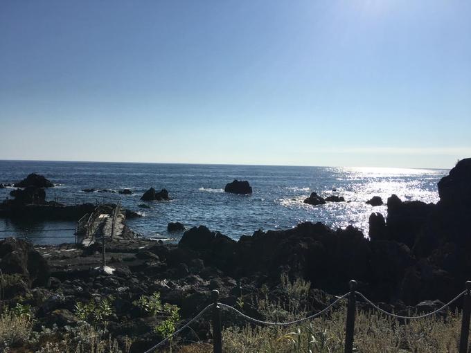
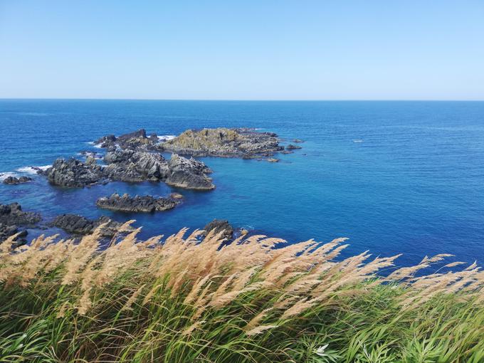
This is a small seaside area filled with some rock formations. It is said to be a good place for spotting seals, although we actually had more luck finding seals in Wakanai than on Rishiri. Nonetheless other people have been lucky enough to find seals here, and they even sell food with which you can feed the seals!
The Fuji Field Garden
Here you can see thousands of bright yellow Hemerocallis esculenta flowers blooming from mid-June to mid-July. Sadly during our visit they were no longer in bloom, but it's a beautiful spot if you come at the right time.
The Yuhigaoka Viewing Platform
Located near the ferry terminal, you have to climb two steep sets of stairs and a hill to reach this viewing spot. It is worth the effort though for one last beautiful view before you leave the island.
The highlights of Rebun Island:
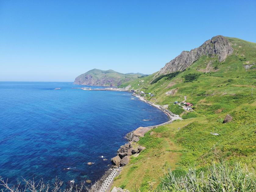
Rebun Island, the smaller and quieter of the two, will have you questioning whether you are still in Japan or your ferry somehow ended up in Scandinavia. The island has wild and craggy cliffs interspersed with rolling green hills. From the cliffs you can see sweeping ocean views and wildflowers in abundance. The whole island still has a "quaint fishing village" vibe to it which allows one to relax and fully enjoy the scenery. Rebun is actually known as "the floating island of flowers" due to the 300+ kinds of alpine plants which dot the island, some of which are unique to Rebun. My personal favourite of the two islands, I could spend days just walking the trails over the cliffs and hills. Our group was split 50/50 over which island was better however.
The best way to explore Rebun is by renting a car, and hiking if you desire. You can also take a sightseeing bus but these are more rushed and you cannot choose the spots you visit.
Cape Sukoton
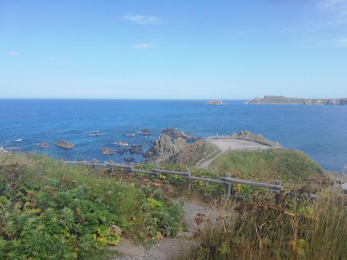
The Northernmost tip of Rebun, this is a viewpoint with wonderful views of the ocean and a very interesting ryokan perched between the cliffs with a the rooms overlooking the ocean. There is also a gift shop/restaurant here.
Cape Sukai
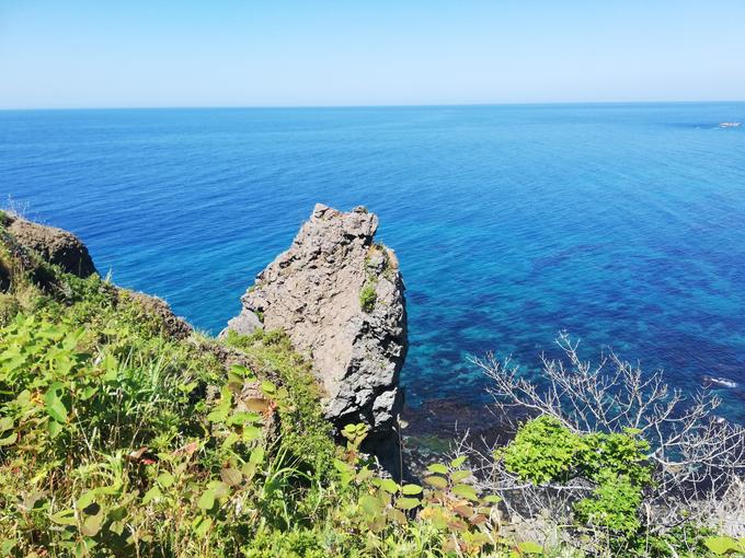
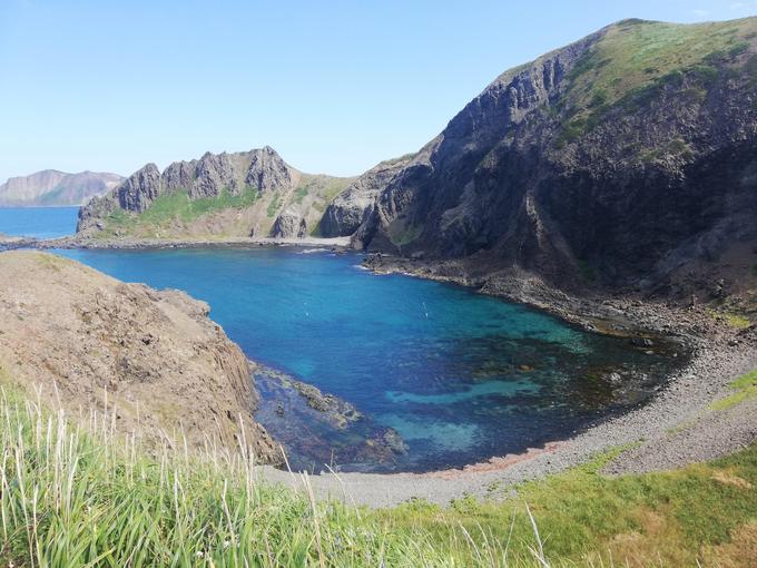
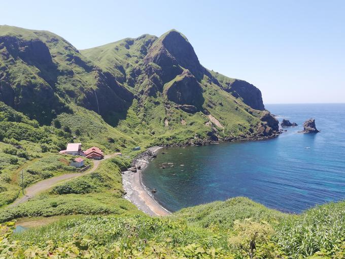
Another photo spot on the West Coast, this one is more stunning than Cape Sukoton. The waters are an amazing blue and the grassy cliffs surrounding the cove makes for a perfect picture. I desperately wanted to swim here, but alas it is not a spot for swimming. This is said to be the best place on Rebun for viewing the ocean.
Momoiwa Observatory
From this viewpoint you can see the ocean on both sides, along with many interesting rock formations. It was interesting to me to see the lone houses perched in the bay below. What an isolated life that must be in the dead of Winter, with a frozen landscape all around you. One of the hiking routes goes past here.
Cape Gorota and Gorota Beach
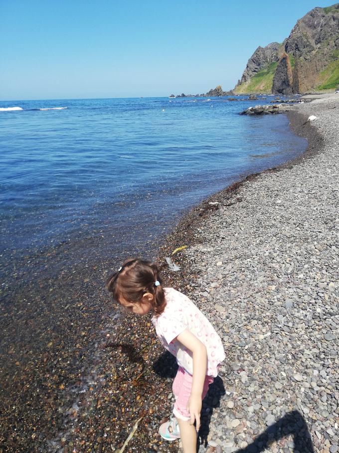
You can reach here via a hiking trail from Cape Sukoton or as part of the 8 hour trek. The views are said to be stunning, unfortunately my group did not go up. We did however visit the beach down below, which was one of the few suitable for swimming places on Rebun.
Kita-no-Canary Park
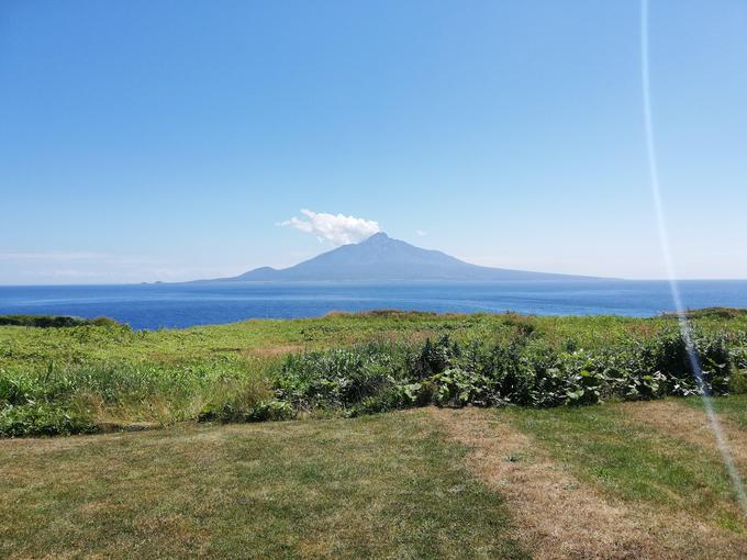
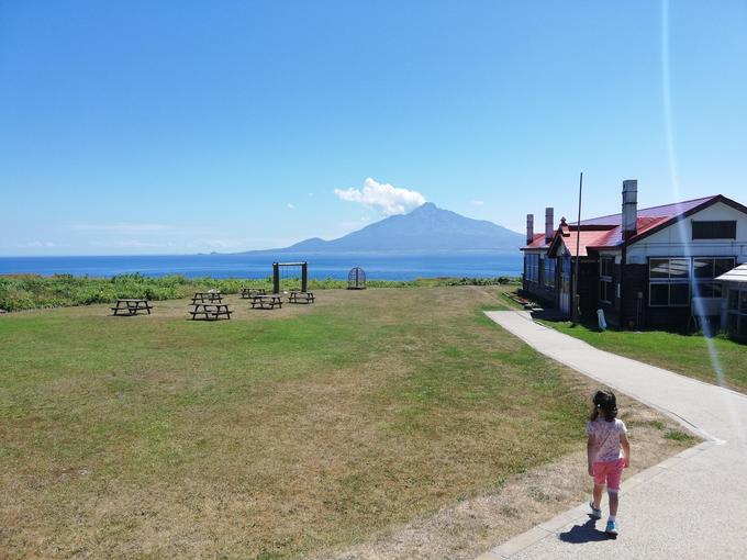
This park was the where the film "A Chorus of Angels" was set, and a pretend schoolhouse was erected here as part of the movie set. Now, the schoolhouse acts both as a museum dedicated to the movie as well as a cute addition to your photos. Here is also where you can get the best photos of Mt. Rishiri in the background. Relax in the café with a scone, coffee or ice cream if you need a rest.
Hiking trails
There are several hiking trails that will take you around Rebun. Mount Ruben is the only mountainous hike, which takes about five hours and gives great panoramic views.
The other trails are less strenuous but offer a rare chance for hillside hiking in Japan, and best of all - no bears! There are several dedicated routes -
- Momoiwa Observatory Route
- 7.1km, from Kafuka to Shiretoko, 3 hours
- Cape Tour Route
- 12.4km, from Cape Sukoton to Hamanka, 5 hours
- Rebun Forest Path Route
- 8.2km, from Motochi to Rebun Forest, 3 hours
- Rebun Falls
- 2km, from Motochi to Rebun Forest, 1.5 hours
- Eight Hour Route (can be split into two four hour courses)
- 16.5km, from Rebun Ladies Slipper Orchid Habitat to Kafuka, 8 hours
- Mount Rebun Route
- 4.6km, from Nairo to the summit, 5 hours
- Lake Kushu Route
- 4.2km, from Lake Kushu Campsite in a circle, 1.5 hours
Depending on what you want to do, you can take anywhere from as little as one day on Rishiri and Rebun. Our group did a half day on each, but spread over two days. I'd have liked to spend more time hiking and cycling, so if you want to do all the outdoor activities a 3 or 4 day stay might be best. Either way, these islands have to be one of the most beautiful places in Japan.


